8-Val d'Aube
Add to my favorites

Altitude hike : snow, ice, avalanches... Those hike are not recommended during winter period.
Route opened

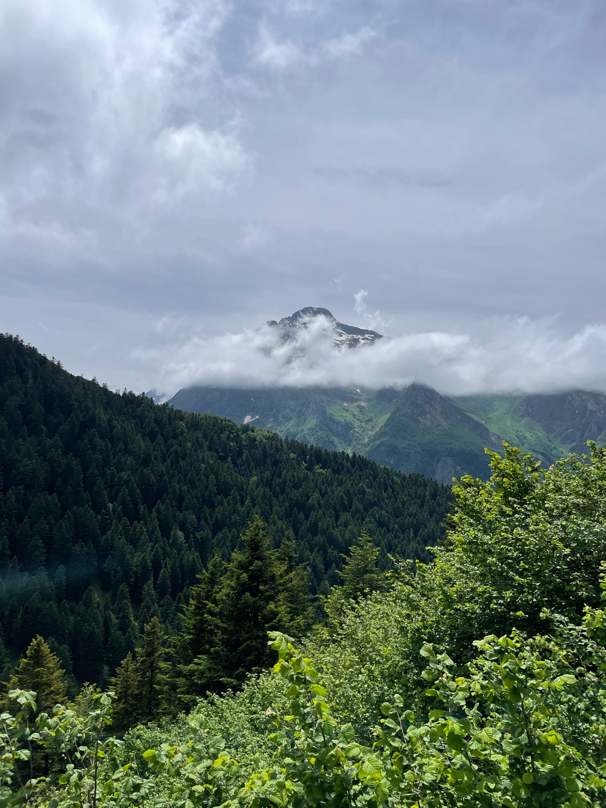
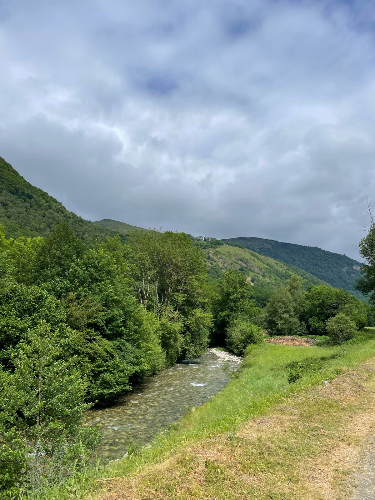
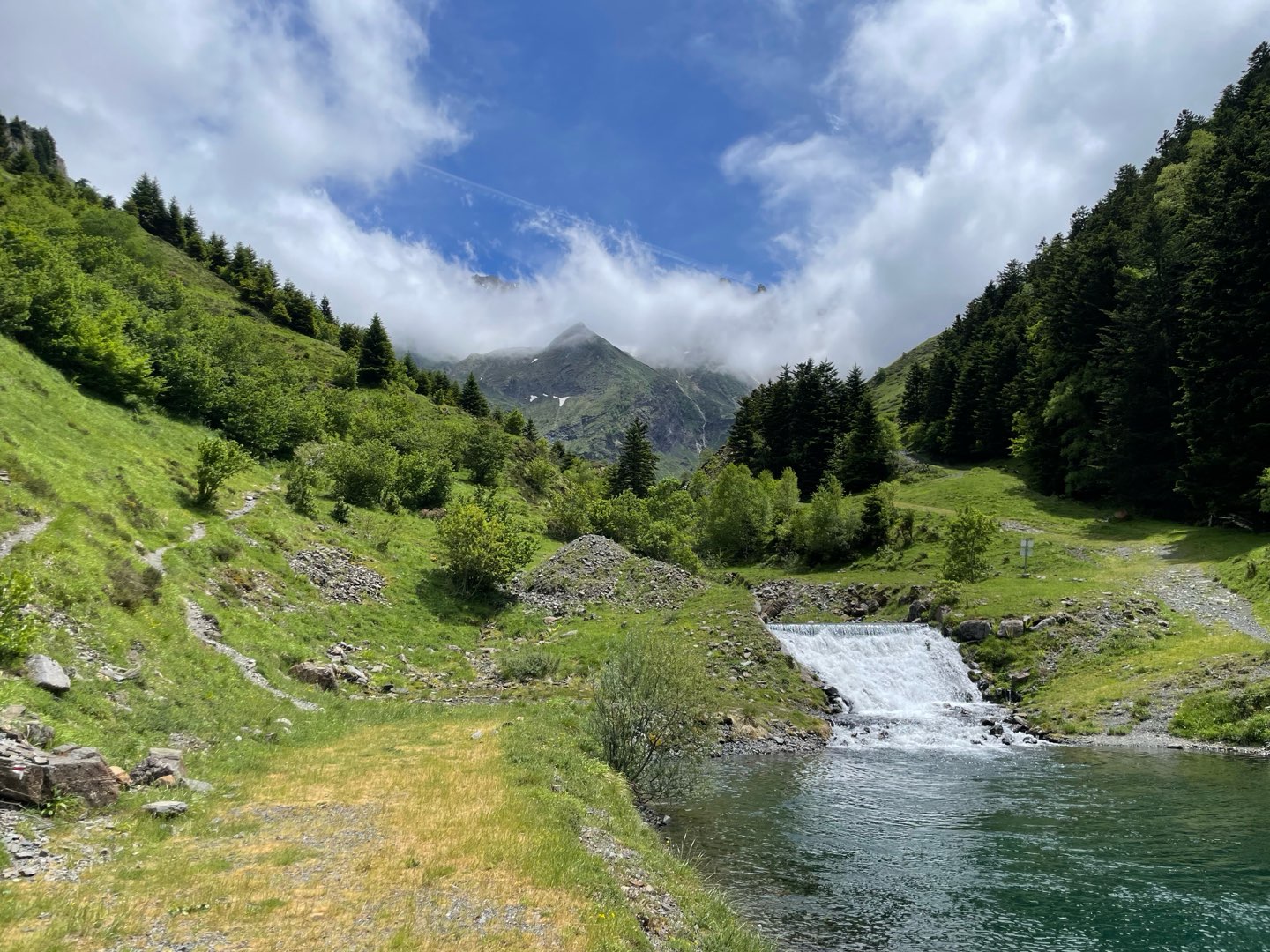
This itinerary allows you to discover all the diversity of the Louron: a district of barns at the bottom of the valley, a high altitude fir tree forest, a magnificent balcony walk in the mountain pastures and the discovery of Germ, the highest village in the valley.
The characteristics of the route.
Loudenvielle, devant l'office de tourisme (65)
- Distance 11.3 km
- Elevation gain 620 m
- Elevation lost 620 m
- Min. elevation 959 m
- Max. elevation. 1528 m
- Duration (depending on pace) 4h30
- Marking Yellow
Area : Loudenvielle
Report a problem
Deb12
finished in 04:00:00
The 2026/06/05
En savoir plus
Deb12
finished in 04:00:00
The 2026/06/05
En savoir plus
Ajouter votre chrono et partager vos sensations
2026/06/05 04:00:00
Deb12
Deb12
Magnifique balade réalisée en 4h environ. Pas de difficultés particulières rencontrées sur le chemin, les indications sont claires. Balisage niquel on suit un autre chemin de randonnée au début, attention à la bifurcation à gauche quand on arrive au fond de la vallée et après suivre le GR jusqu’à Loudenvielle.
Services nearby
INTERSPORT Loudenvielle
Loudenvielle

L'Ardoise
Loudenvielle

Louron Valley Visitor Center
Loudenvielle
L'Escapade
Loudenvielle
Pizza des 4 Chemins
Chemin du Hourgade, Loudenvielle


Follow us on
the digital trails
the digital trails


![]()
Info & contacts
Intercommunal Association of the Louron Valley
contact@louronbikeandtrail.fr
Tel. +33 (0)5 62 99 95 35
 Louron Bike & Trail - Parcours - 8-Val d'Aube
Hello, world! This is a toast message.
Louron Bike & Trail - Parcours - 8-Val d'Aube
Hello, world! This is a toast message.
Louron Bike & Trail - Parcours - 8-Val d'Aube
Hello, world! This is a toast message.


OK
Annuler