Route n°7 - Le sentier des Mélèzes
Add to my favorites

Please be aware of the weather conditions and the possible presence of snow and ice during the winter.
Route opened

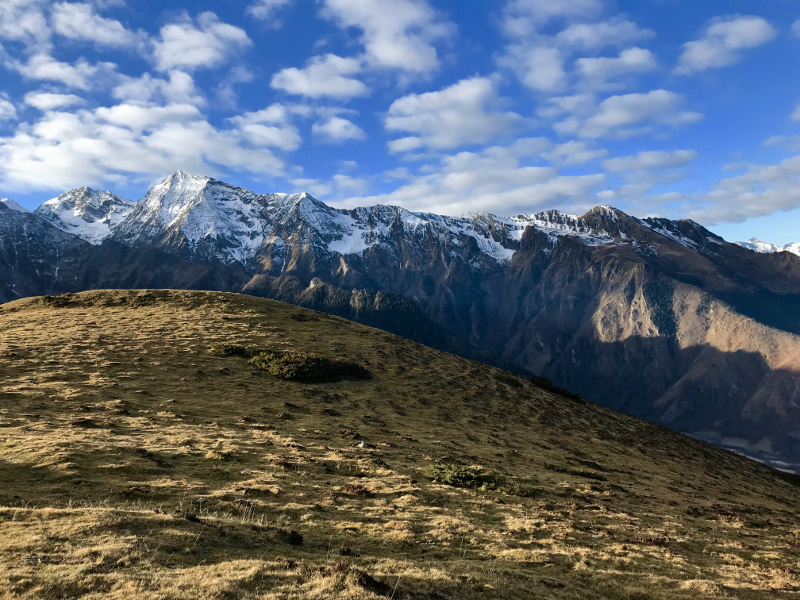
Access from Loudenvielle via the shuttle. For the most courageous, you will take the start of the course of Verticale du Louron (2.5km and 450m+). From the Val Louron Station you will climb very quickly by taking the second part of the vertical of the Louron. Once on the ridges, open your eyes! You are at the feet of the peaks with a beautiful view of the valley. The descent is done by a very playful monotrace path in the forest. Be careful however! Exit is forbidden on this section, be careful. You will finally reach the finish point after walking along the waters of the Génos-Loudenvielle lake.
The characteristics of the route.

Loudenvielle (65)
- Distance 11.5 km
- Elevation gain 400 m
- Elevation lost 880 m
- Min. elevation 947 m
- Max. elevation. 1736 m
- Duration (depending on pace) 2h à 4h
- Marking Trail-running n°7 blue
Add your time and share your feelings
Services nearby

Fan Bikes - Louron Sport
Val Louron

Village Vacances CI ORTF - Lou Lapadé
Station de Val Louron

Le Nabias 1450
Val Louron

MYRTILLES Lift
Val Louron

Le Lustou Residence
Val Louron
OK
Annuler


