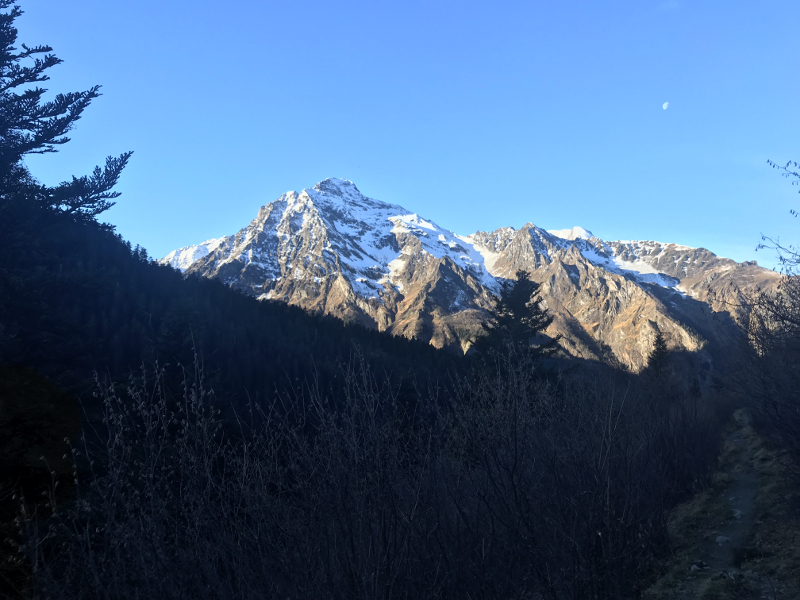
Route n°14 - Port de la Pez
Add to my favorites

Please be aware of the weather conditions and the possible presence of snow and ice during the winter.
Route opened

Warning: route to be carried out in good weather only, considering high mountain terrain borrowed.
Unmarked itinerary that will be done entirely with GPS.
This is the longest route in our space with 38 km on the counter. In addition, a unique cross-border route that also marks our collaboration with the Spanish territory of Sobrarbe.
The characteristics of the route.

Loudenvielle (65)
- Distance 38.1 km
- Elevation gain 2970 m
- Elevation lost 2970 m
- Min. elevation 1251 m
- Max. elevation. 2684 m
- Duration (depending on pace) 48h
- Marking No trail-running signs
You will always be attentive on this itinerary that constantly evolves in high mountains, especially at the crossings of the port of Pez and the port of aigües Torte where the terrain is very mineral and with some sloping portions.
This route has been designed in particular so that you can realize it over two days with a night at the refuge of Viados, on the Spanish side.
Area : Pont de Prat
Report a problem Add a comment
Topo Trail 14
Add your time and share your feelings
Services nearby

LES SAPINS Chairlift

MYRTILLES Lift
Val Louron

Le Nabias 1450
Val Louron

Le Lustou Residence
Val Louron

Village Vacances CI ORTF - Lou Lapadé
Station de Val Louron
OK
Annuler


